From the Arlberg to the Great St. Bernhard (the story of the kind weather god)
After what felt like an eternity of bad weather and postponements twice, my guest and I finally set off on our annual spring ski tour on May 1st.
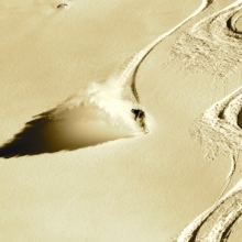
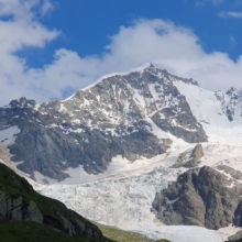
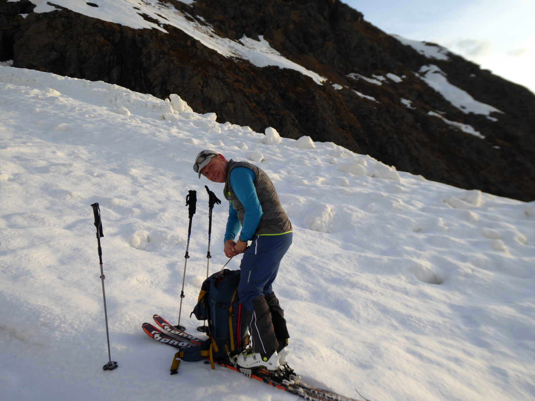
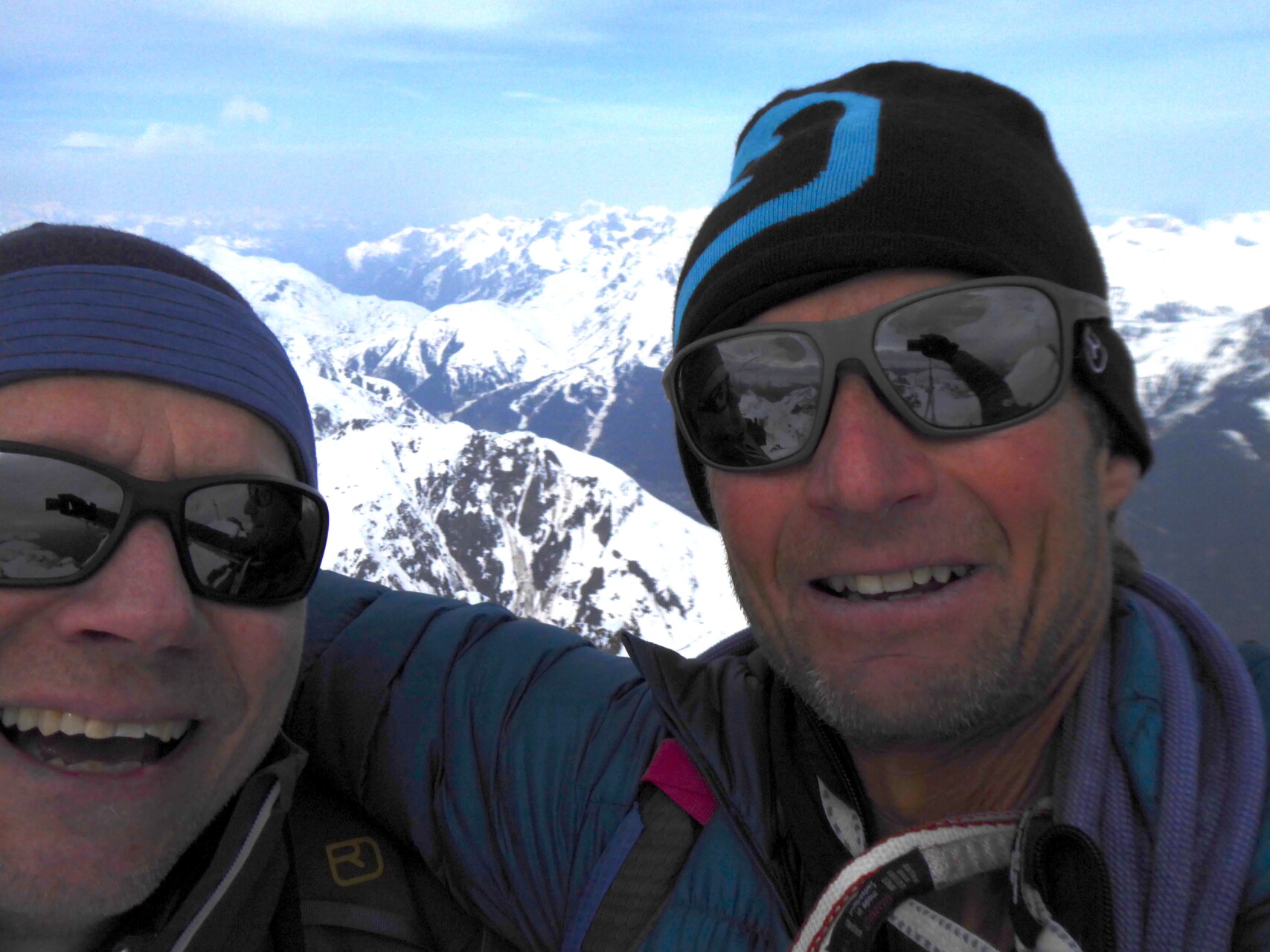
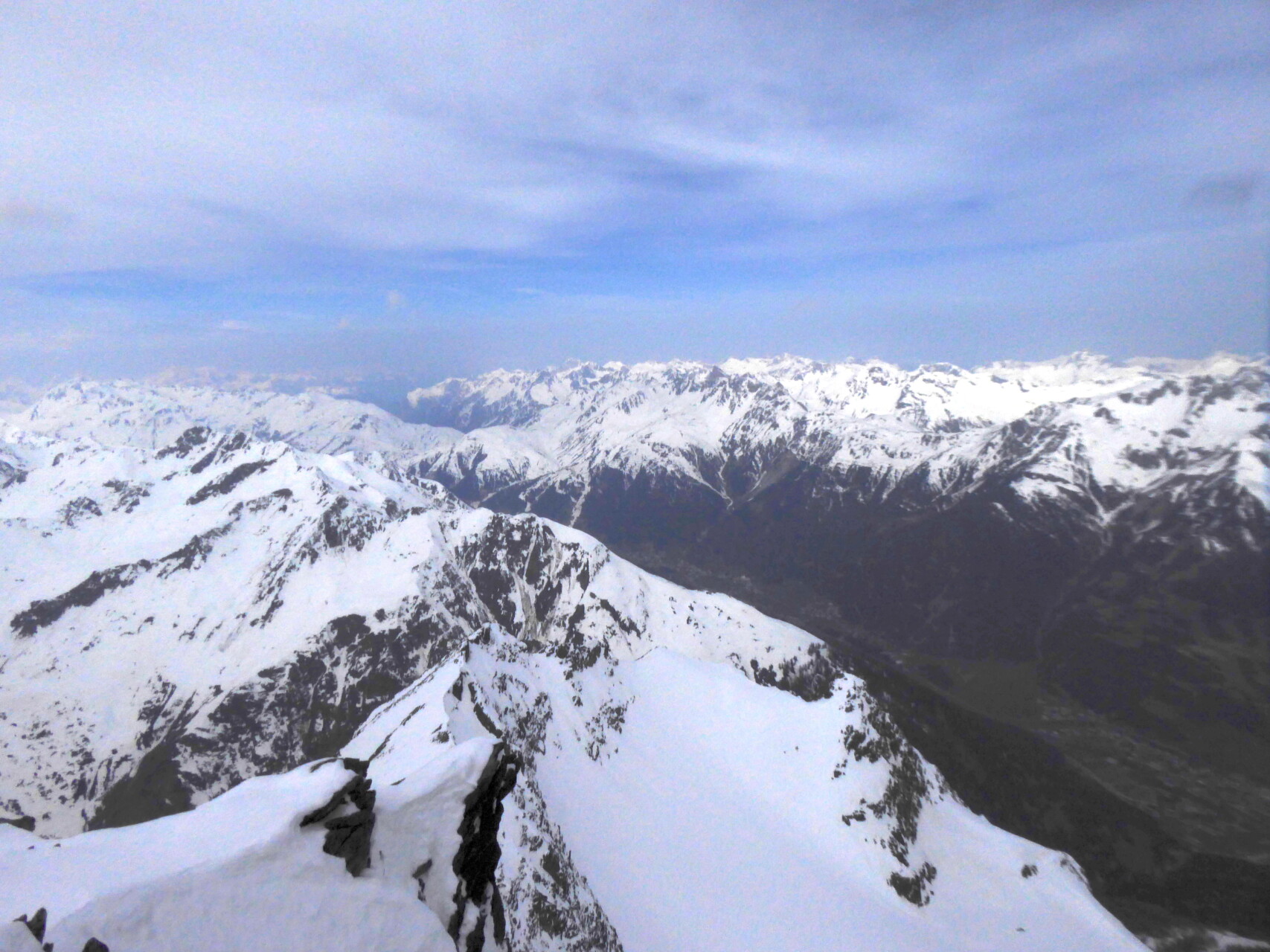
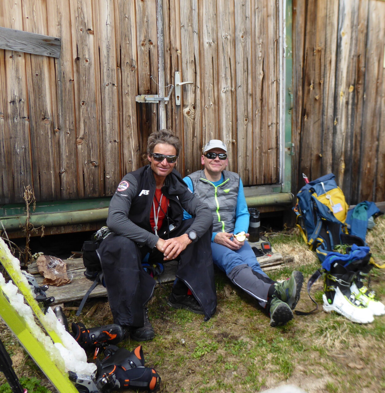
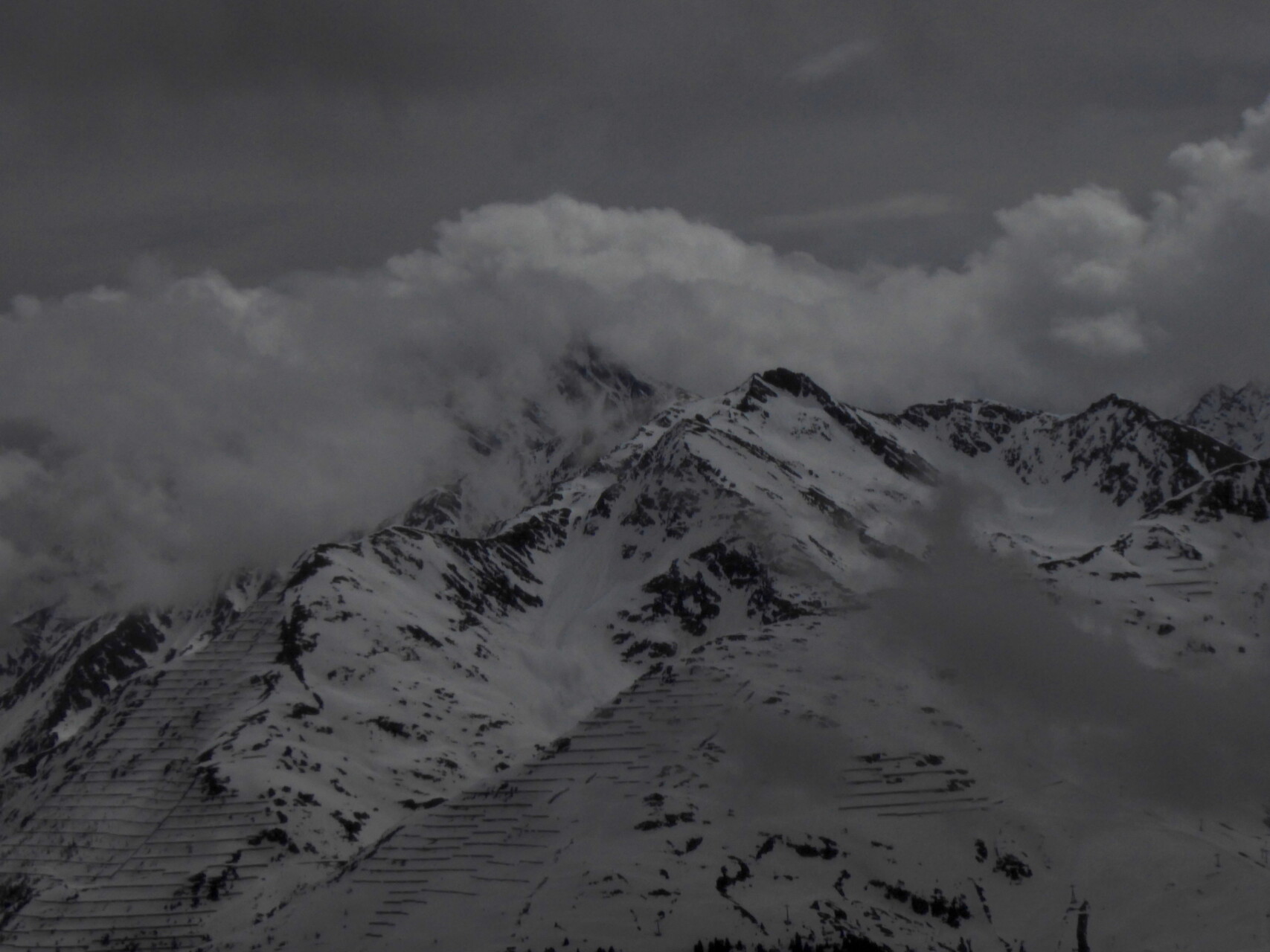
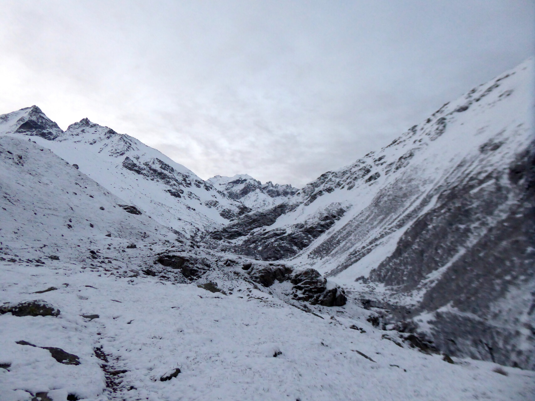
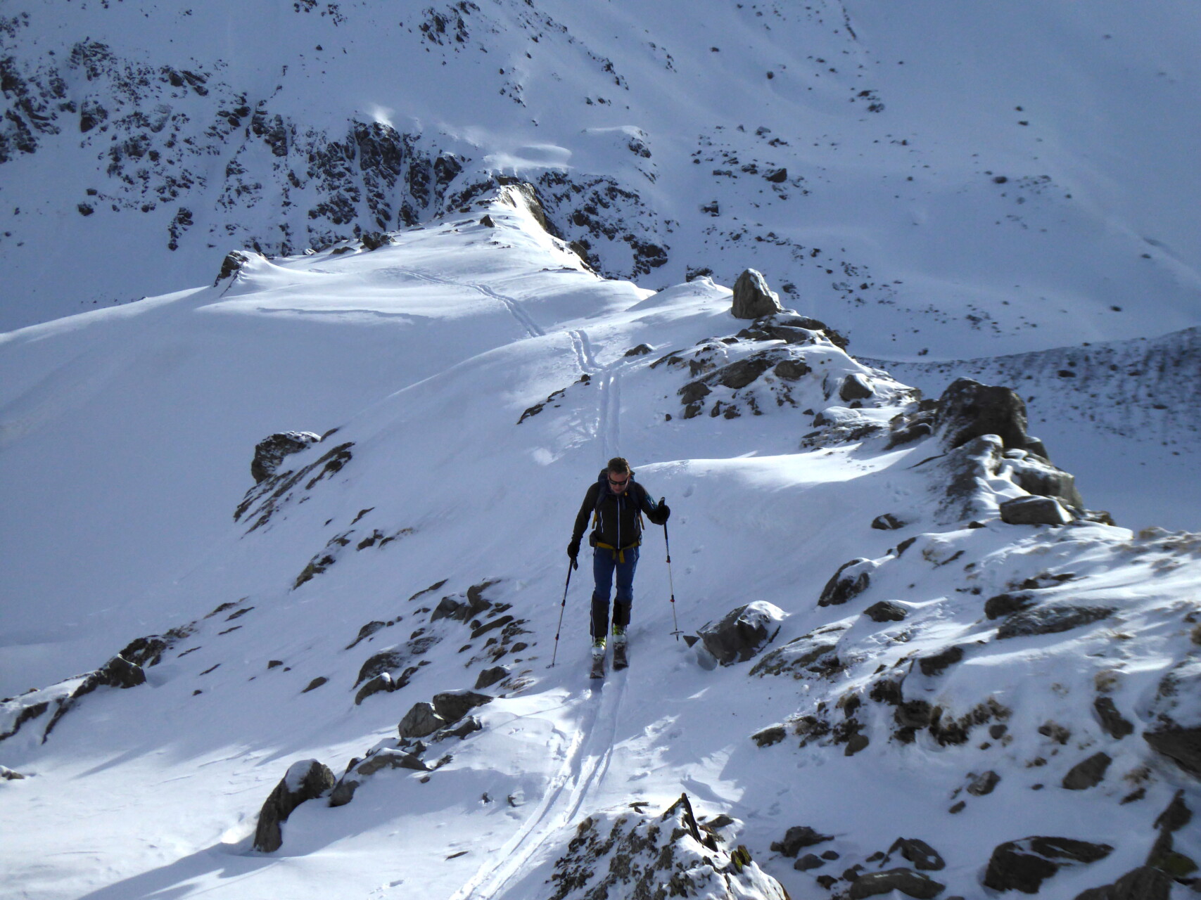
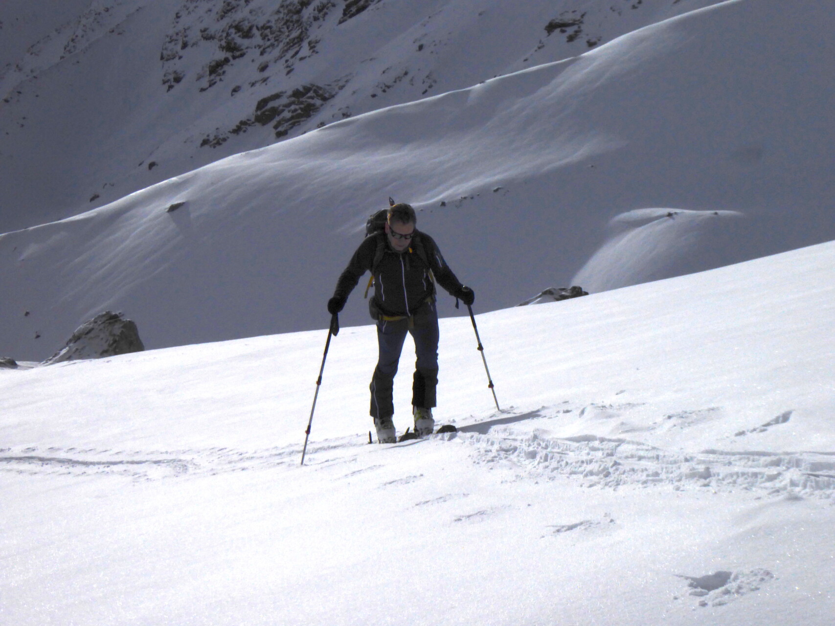
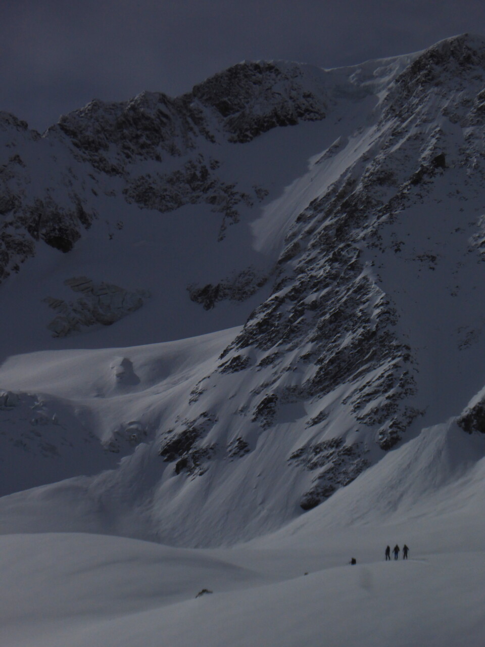
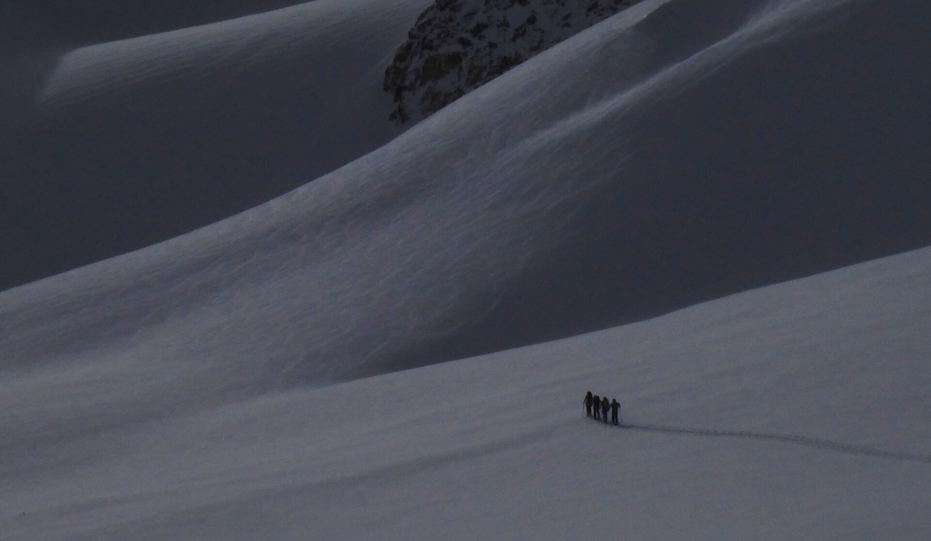
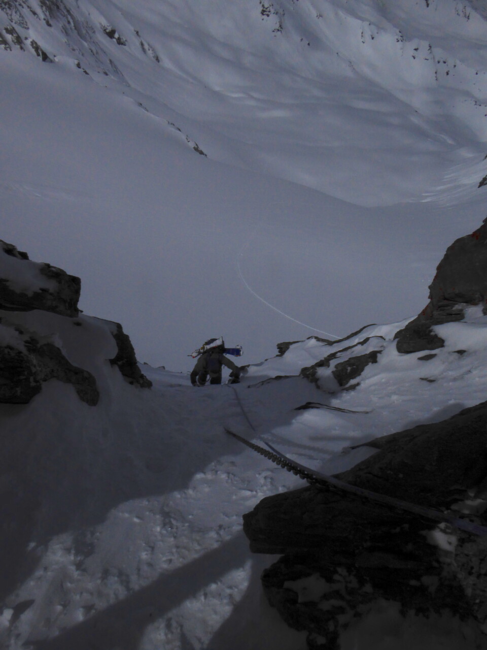
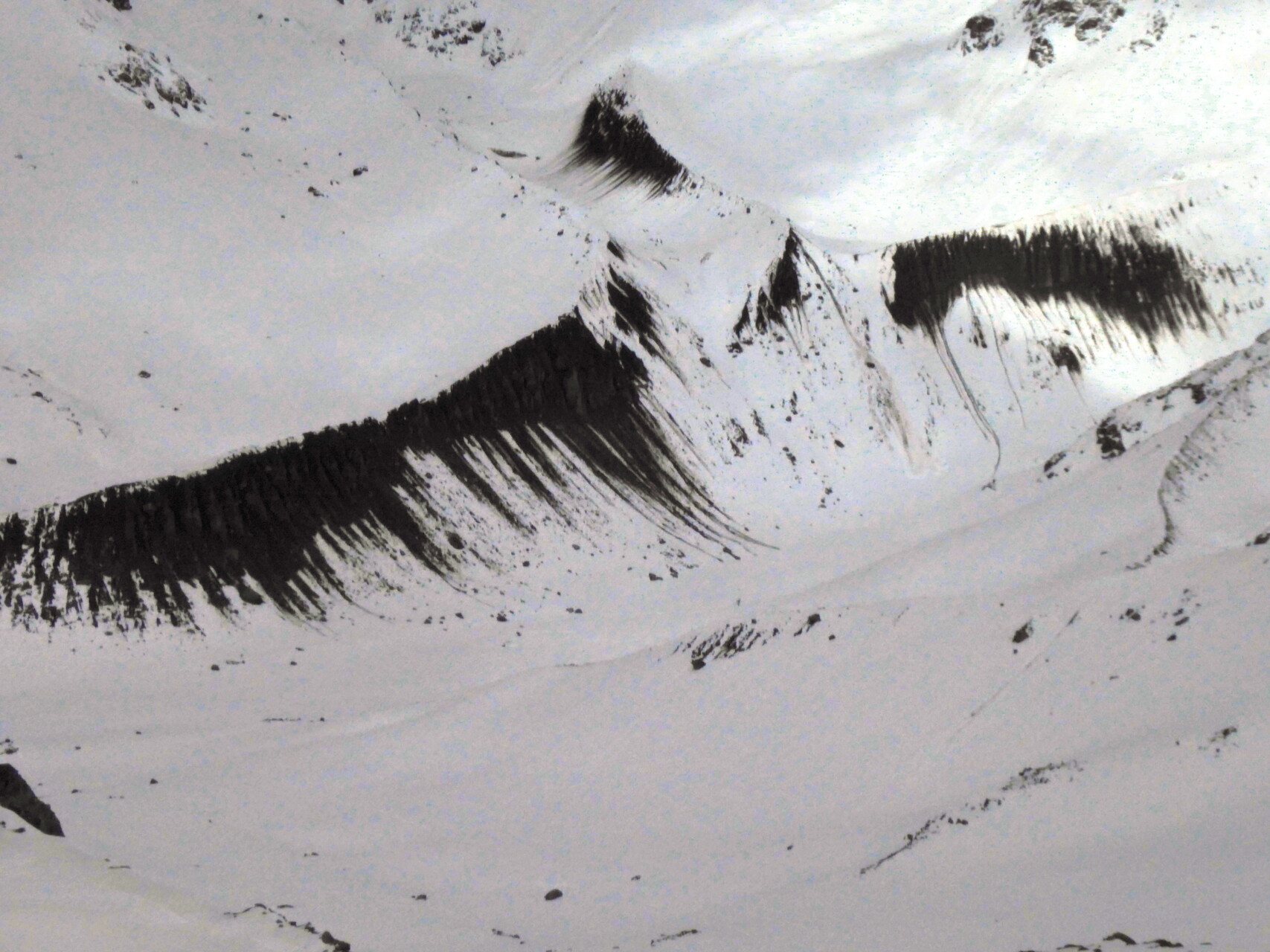
First tour destination: the Hohe Riffler in the Verwall. We start in Flirsch am Arlberg at 3:15. First of all, you have to carry skis; Since it’s a good 600 meters up to the snow, we strap our ski boots to our backpacks and wear comfortable sneakers. At dawn we reach the Gampernunalpe, where we can (finally) put on our skis. There is a strong southerly foehn wind and is therefore mild. But thanks to the clear night, it froze reasonably well and we made quick progress. After a total of 6 hours we reach the ski depot. The summit climb that follows is steep, the southern foehn is already blowing strongly and the temperature feels correspondingly cold. We overcome the first steep slope with crampons – it is frozen hard, so I have to secure my guest. Fixed points are sparse here, but fortunately after 30 m a rock with a crack peeks out of the snow that fits my (only) cam perfectly. The following rocky ridge looks “bitchy”, but – after some cleaning work – turns out to be easy. After 2 hours of “climbing” and a total of 2100 meters in altitude, we shake hands at the highest point. We now hurry up with the descent because the time is already advanced and we still want reasonably good snow for the descent. It’s already a bit soft, but we manage that too and can successfully complete the tour after a total time of just under 11 hours.
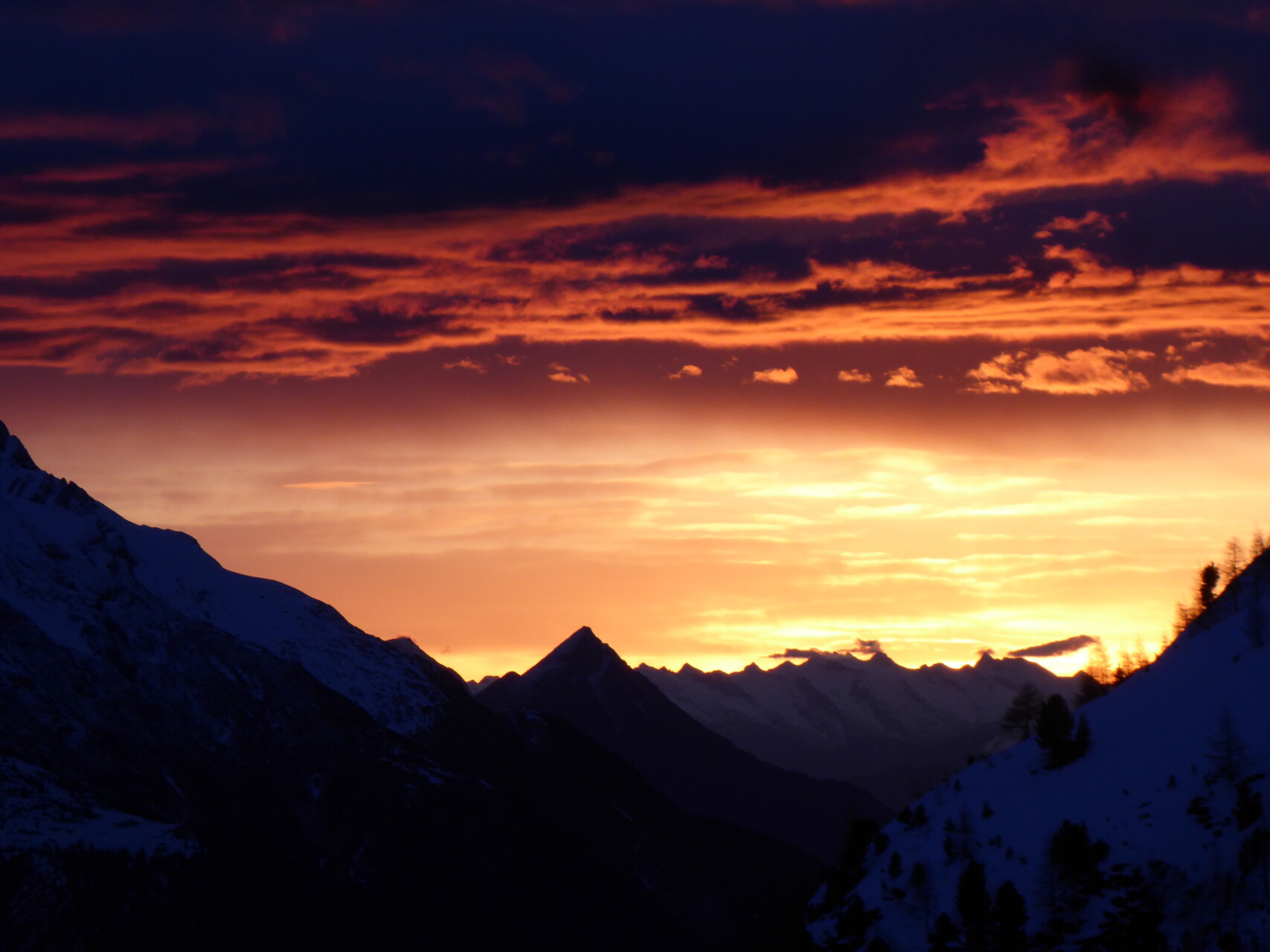
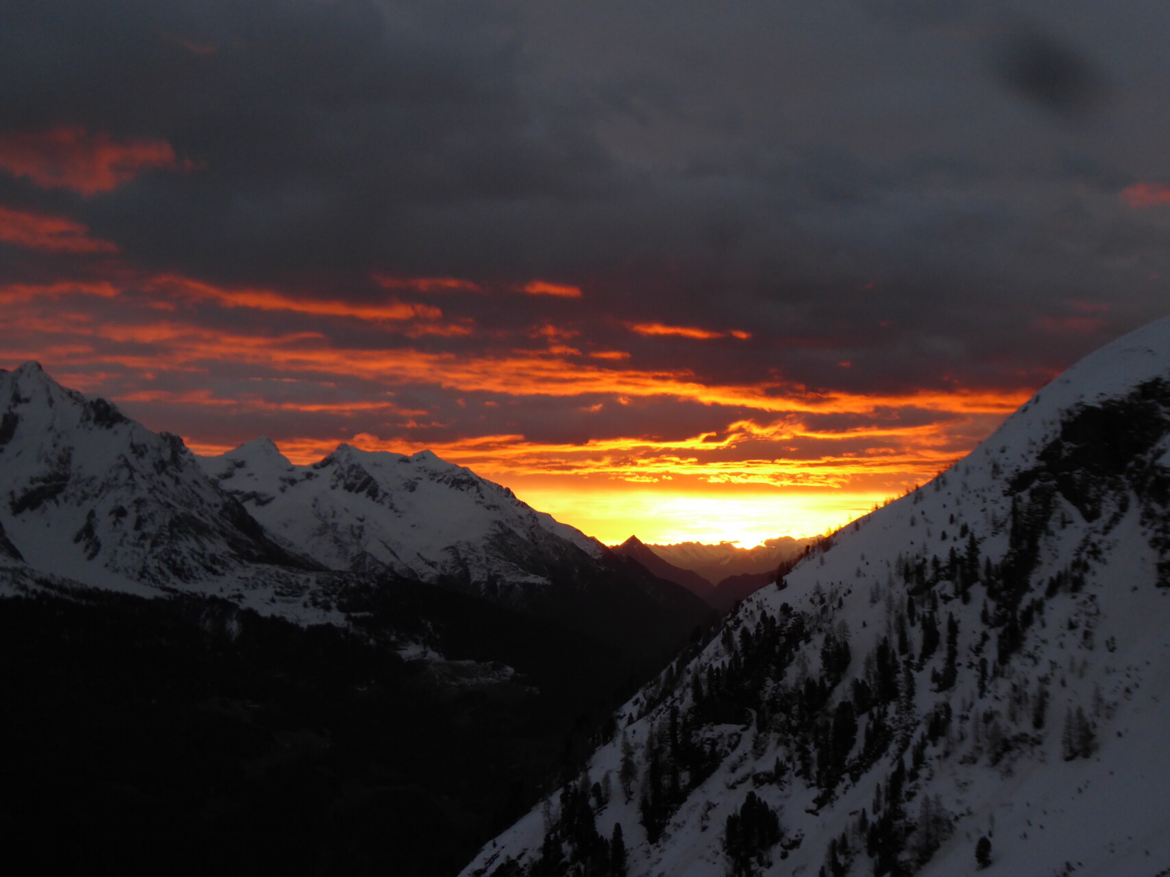
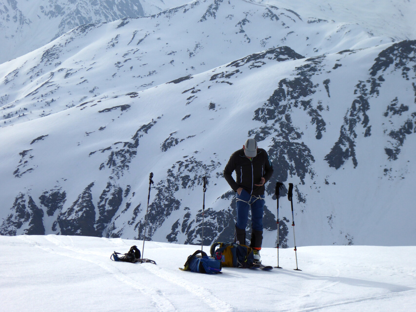
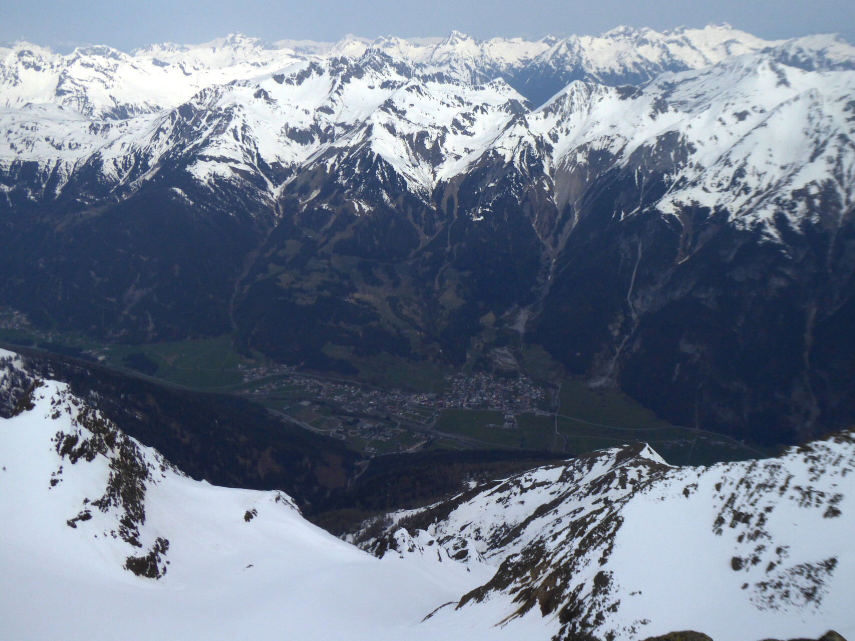
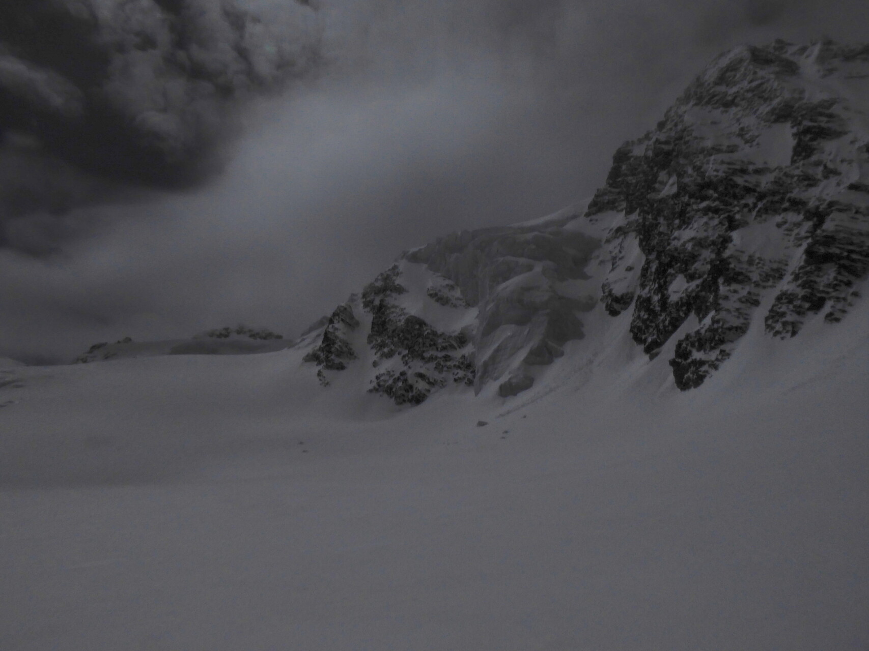
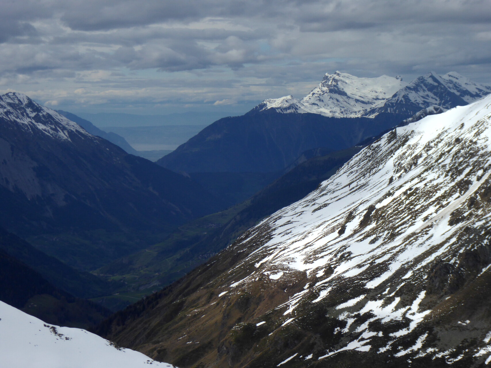
Day 2: We decided to do another tour in the Arlberg area because the weather report predicts usable weather until the early afternoon. However, the night was overcast, the temperature and dew point curves don’t fit well and so the Maroikopf – an easy ski tour near the Arlberg Pass – has to “serve”. We take advantage of the closed ski area and initially climb over slopes, later on open terrain from Alpe Rauz to the summit. The foehn is blowing strongly there again and, contrary to expectations, the snow is quite hard. There are even a few turns in the firn, we “do” the rest on the soft piste. Now we want to continue into Lower Valais to Bourg S. Pierre, which we reach in the early evening after a long drive.
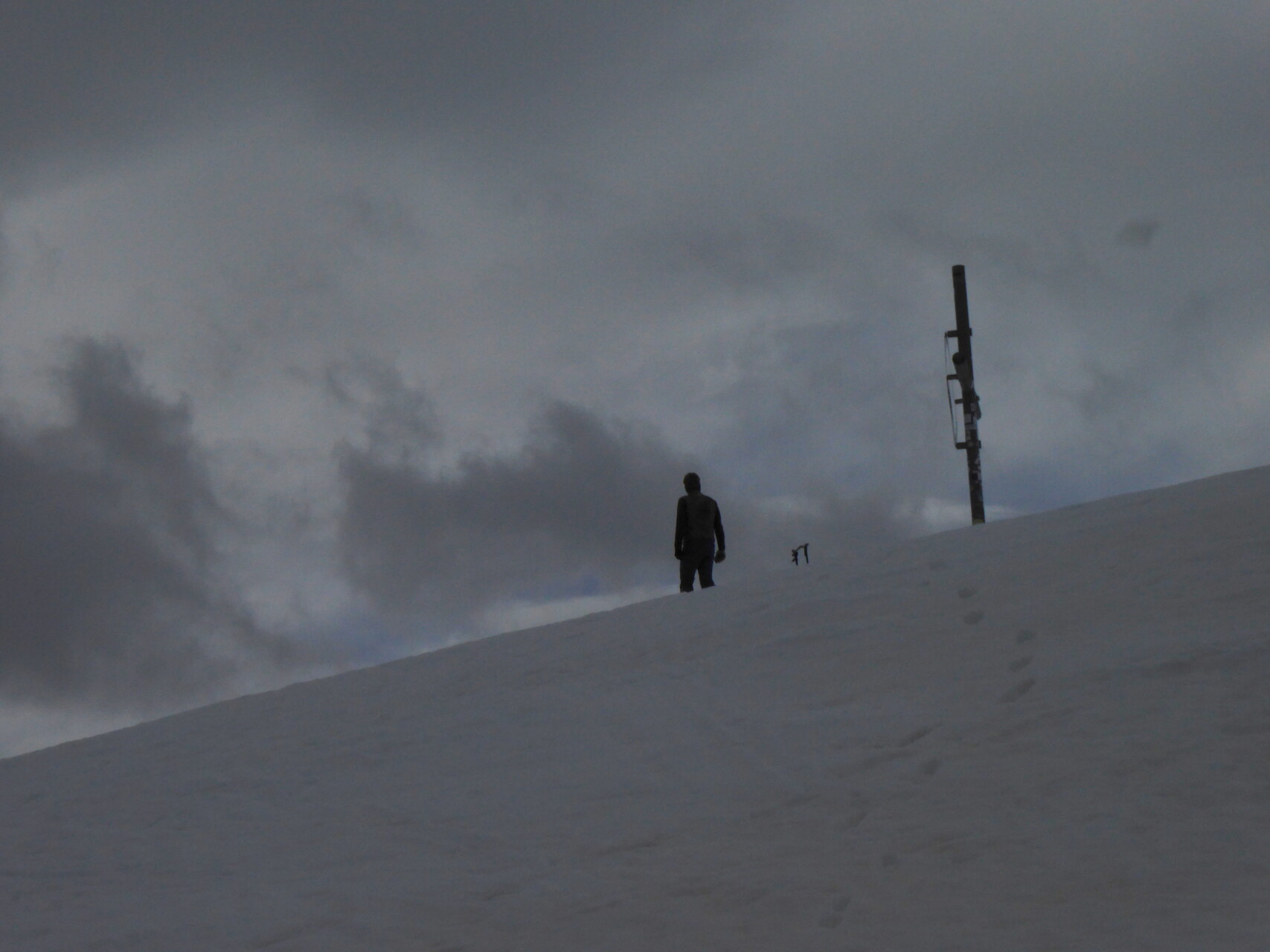
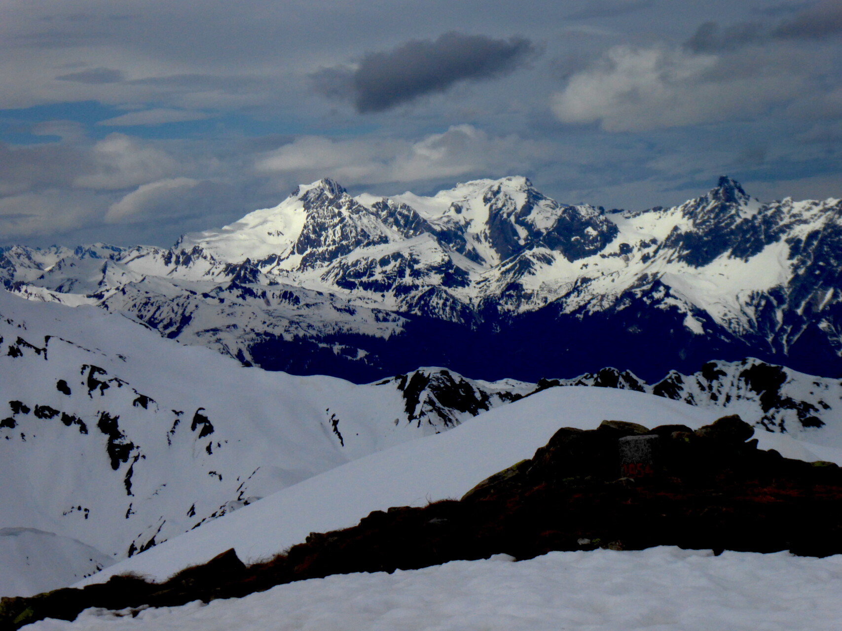
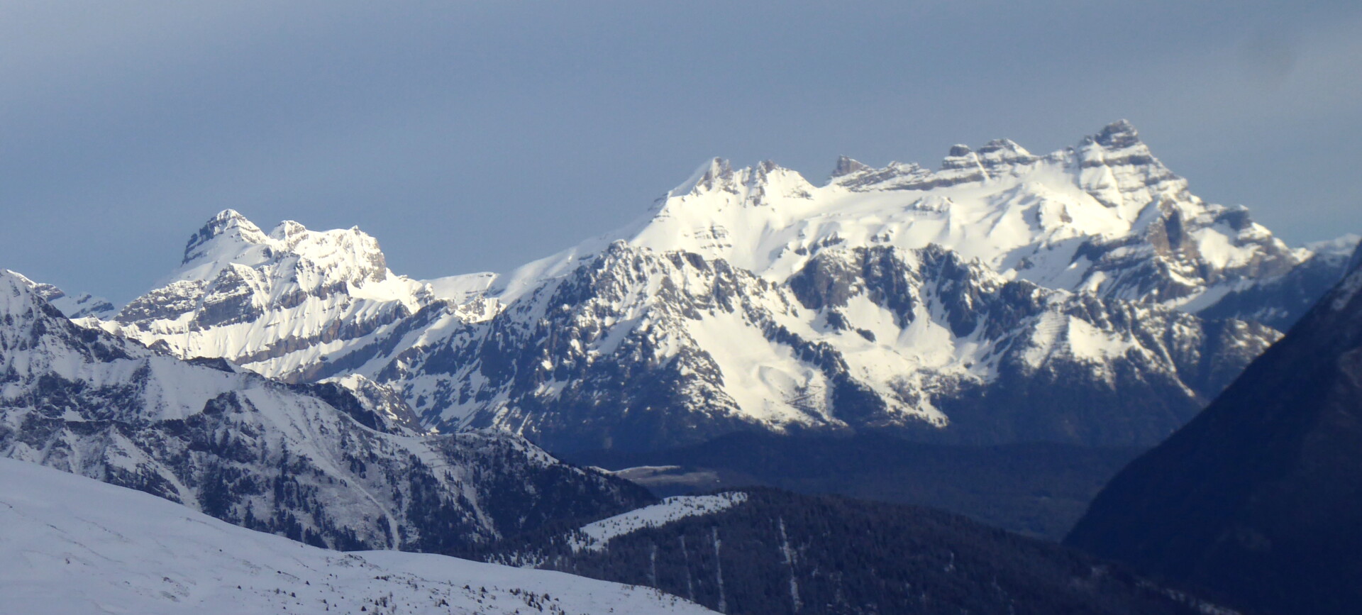
Day 3: It snowed all the way down to the village overnight. Now in the morning, deep clouds hang over the mountains. We decide on a simple ski tour from Bourg. S. Bernard (beginning of the pass road to the Great St. Bernhard). Our destination is the Combe de Drône, which branches off to the southeast, with the Monts Telliers. However, after a few 100 meters in altitude we are already in the aforementioned cloud cover. Dense fog reduces visibility to less than 50 m and the confusing terrain offers no line to orient yourself by. I use GPS to navigate up to the steep summit slope, where we drop off the skin and make our curves into the valley in damp but surprisingly easy-to-drive snow.
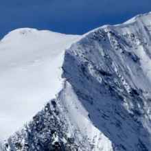
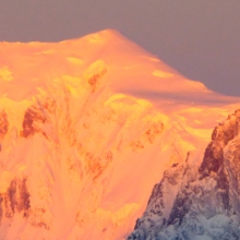
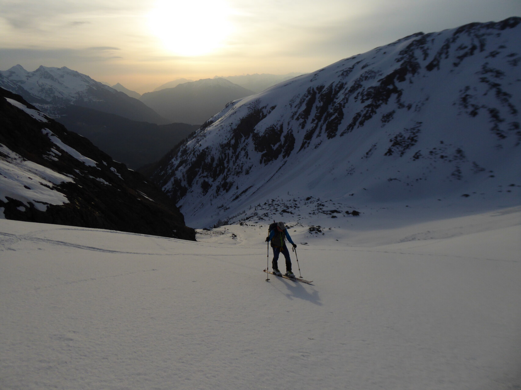
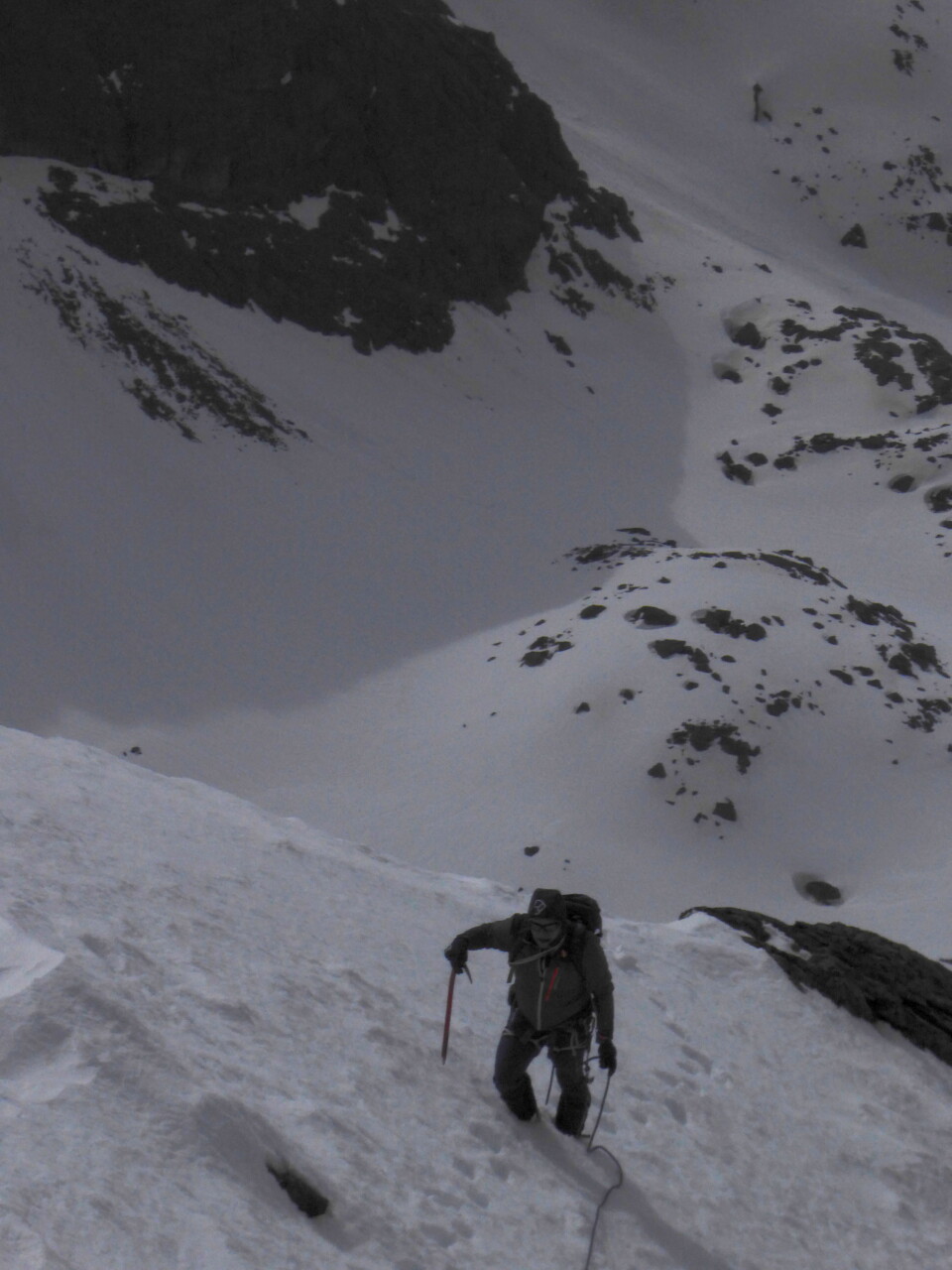
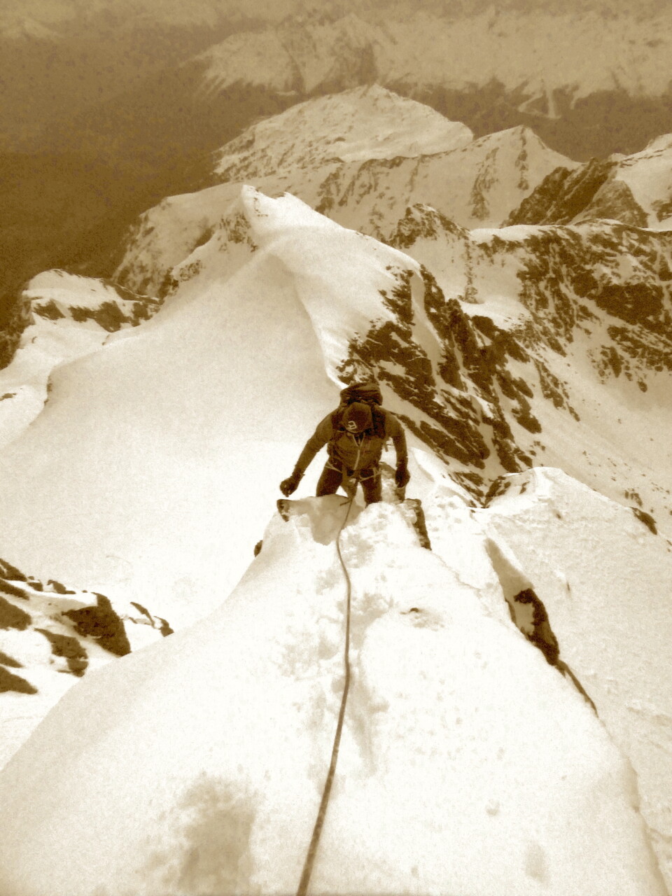
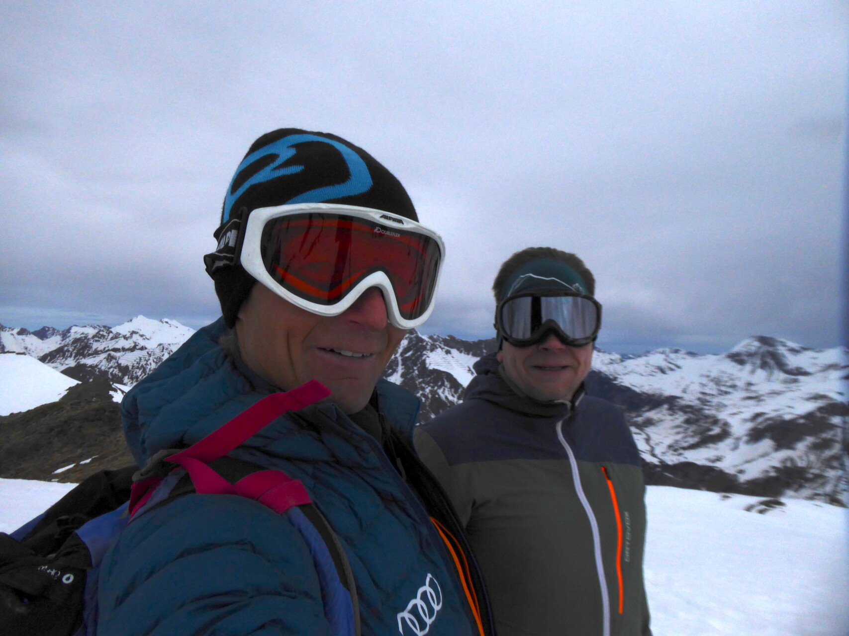
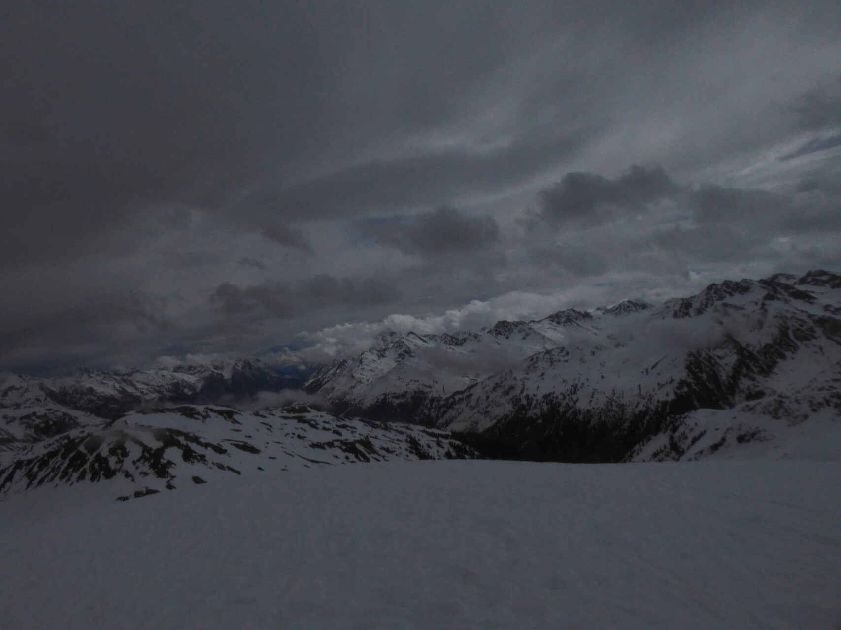
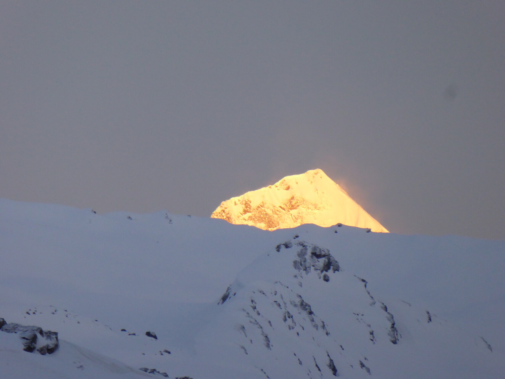
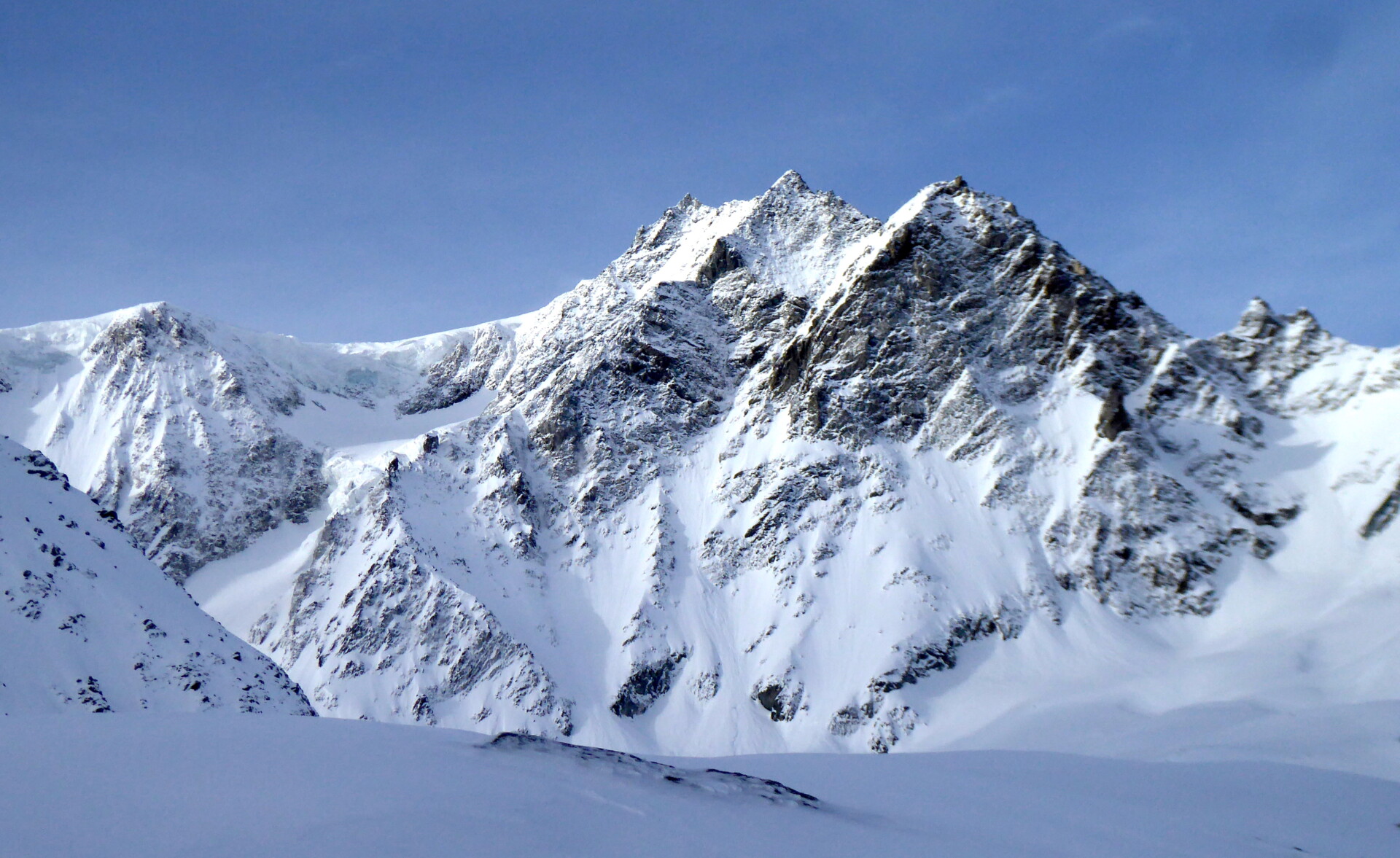
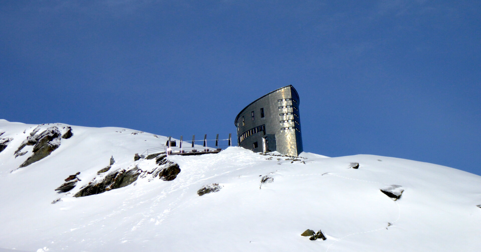
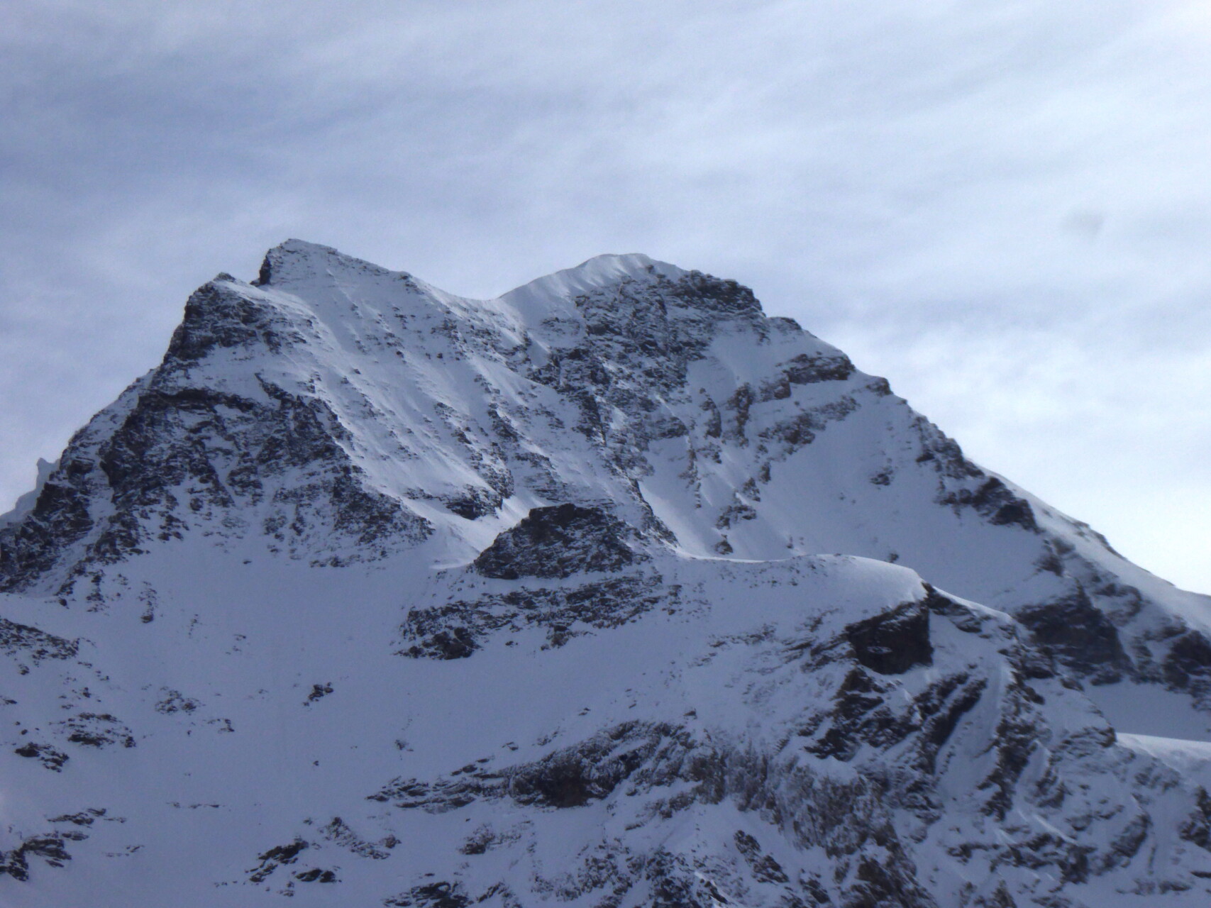
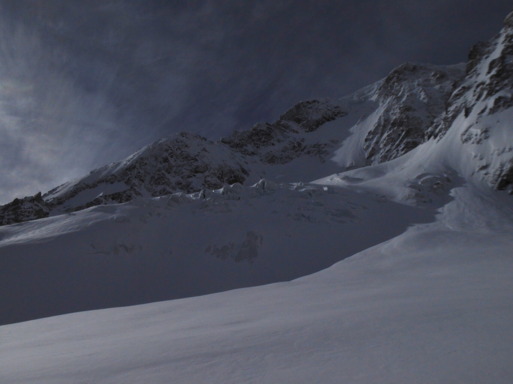
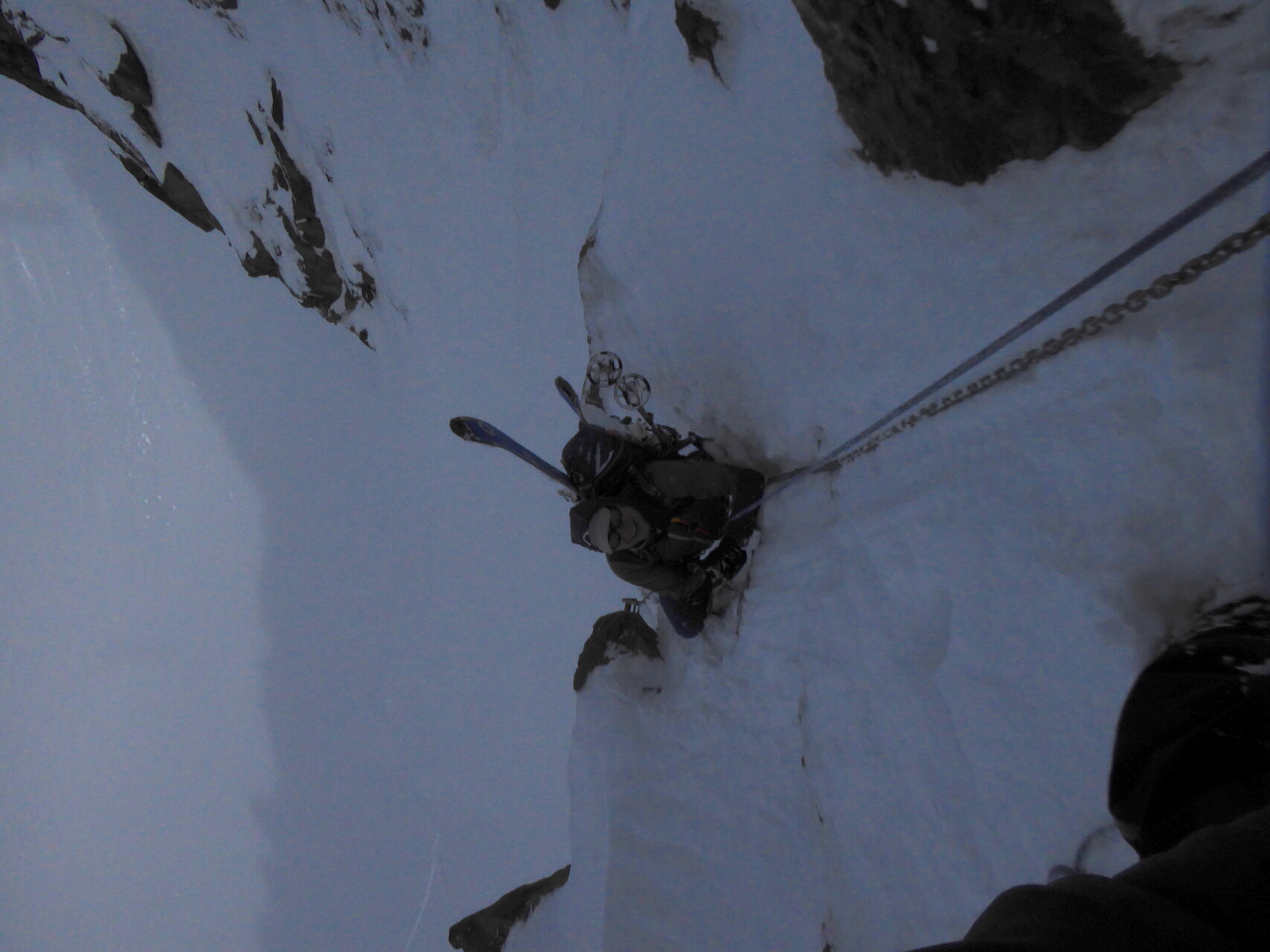
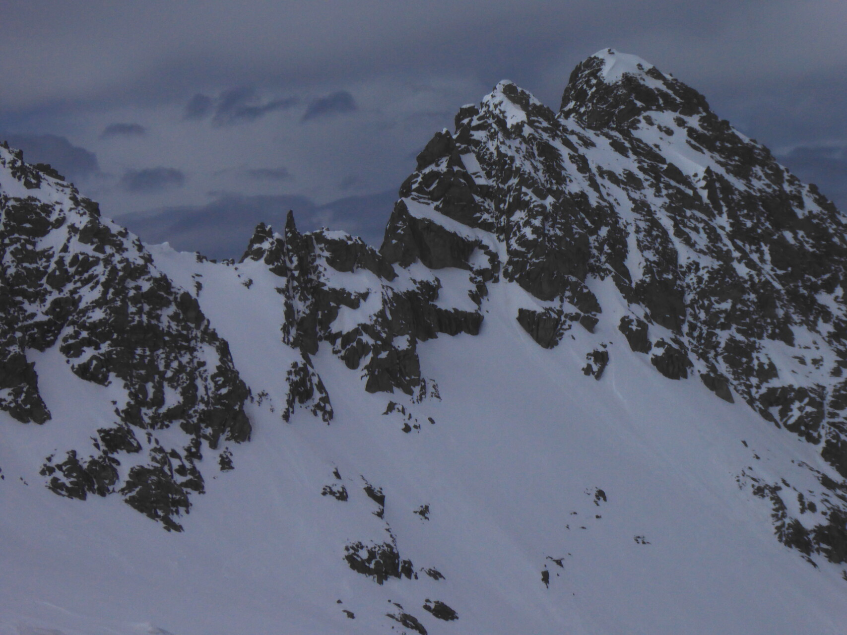
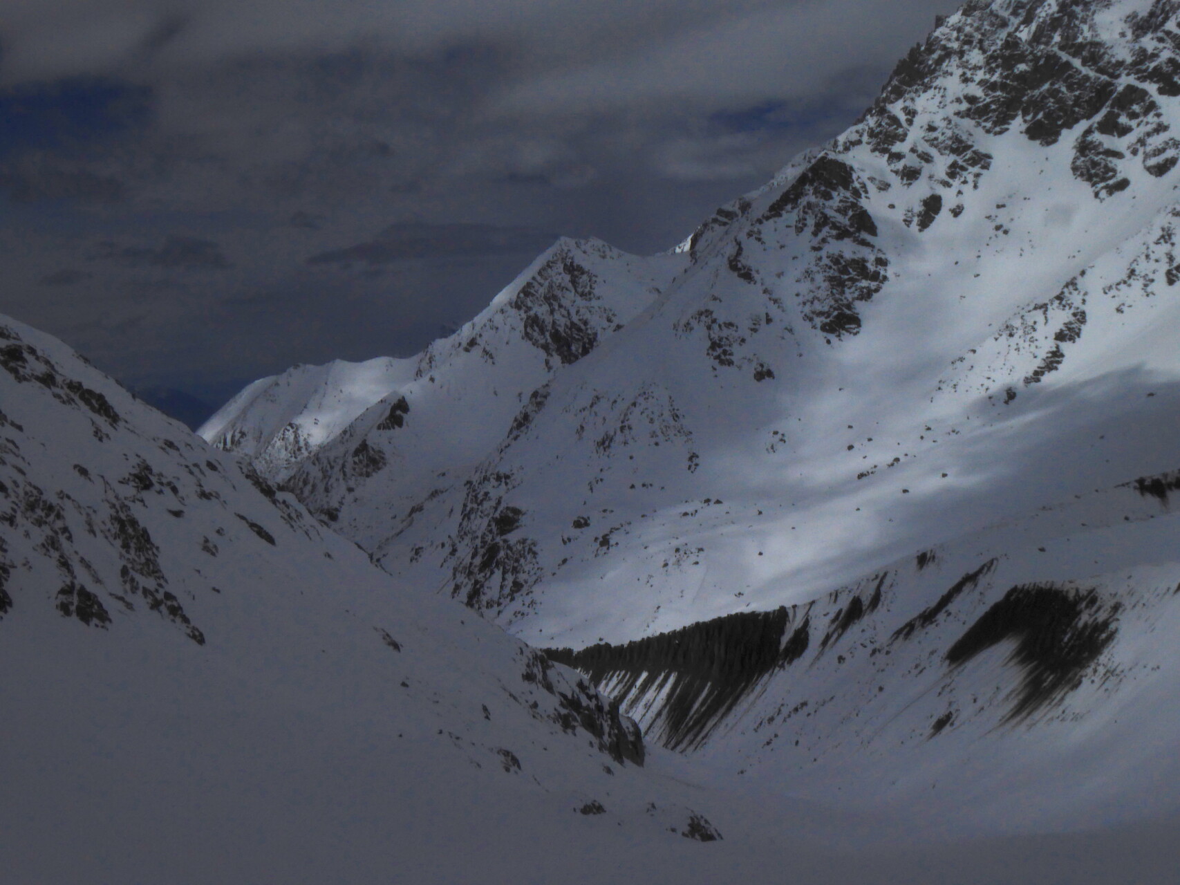
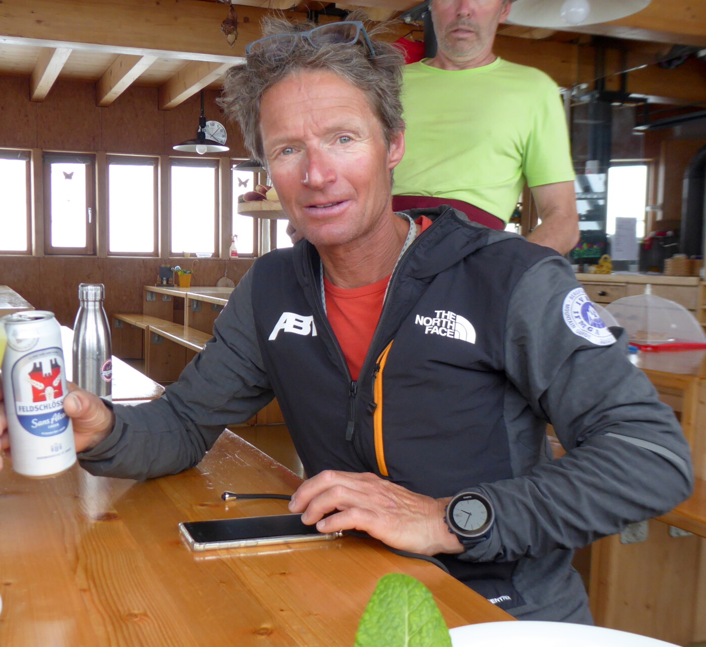
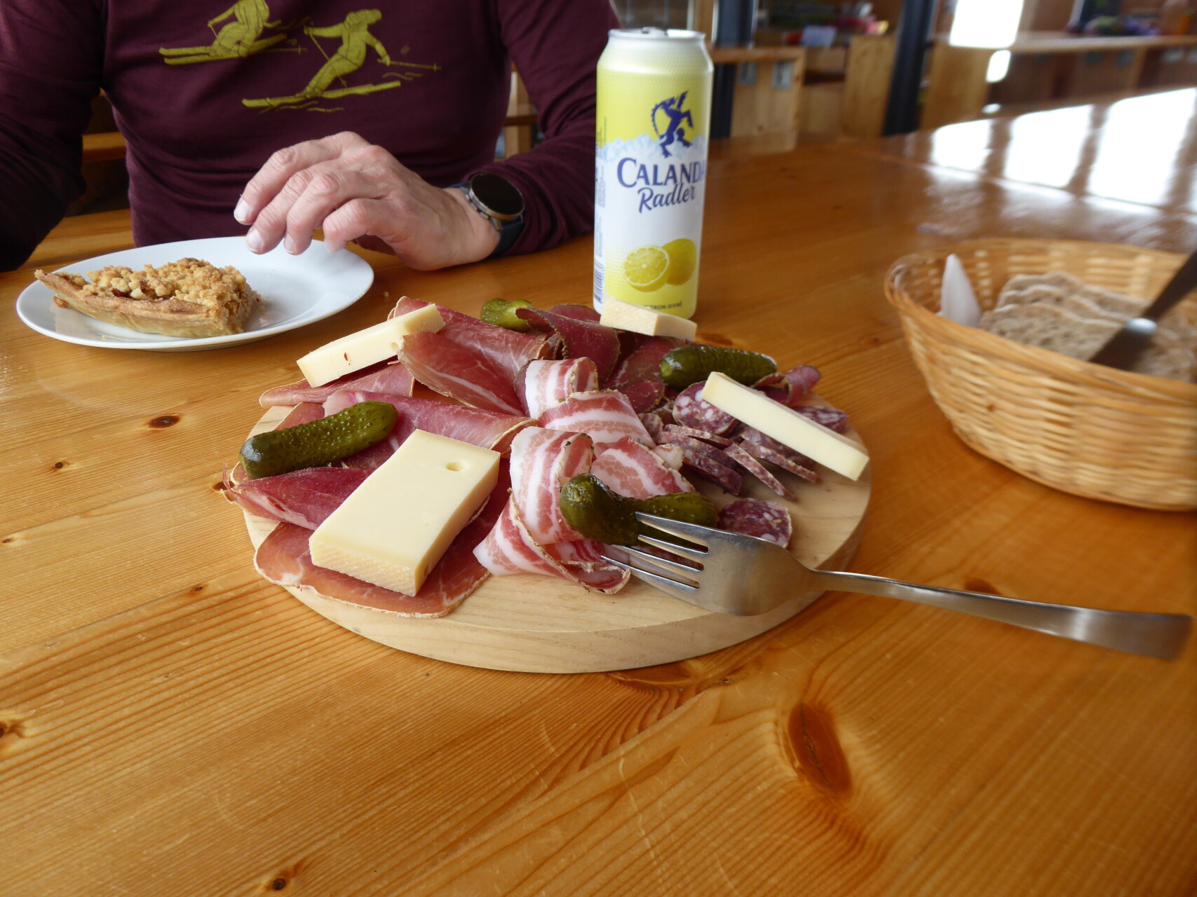
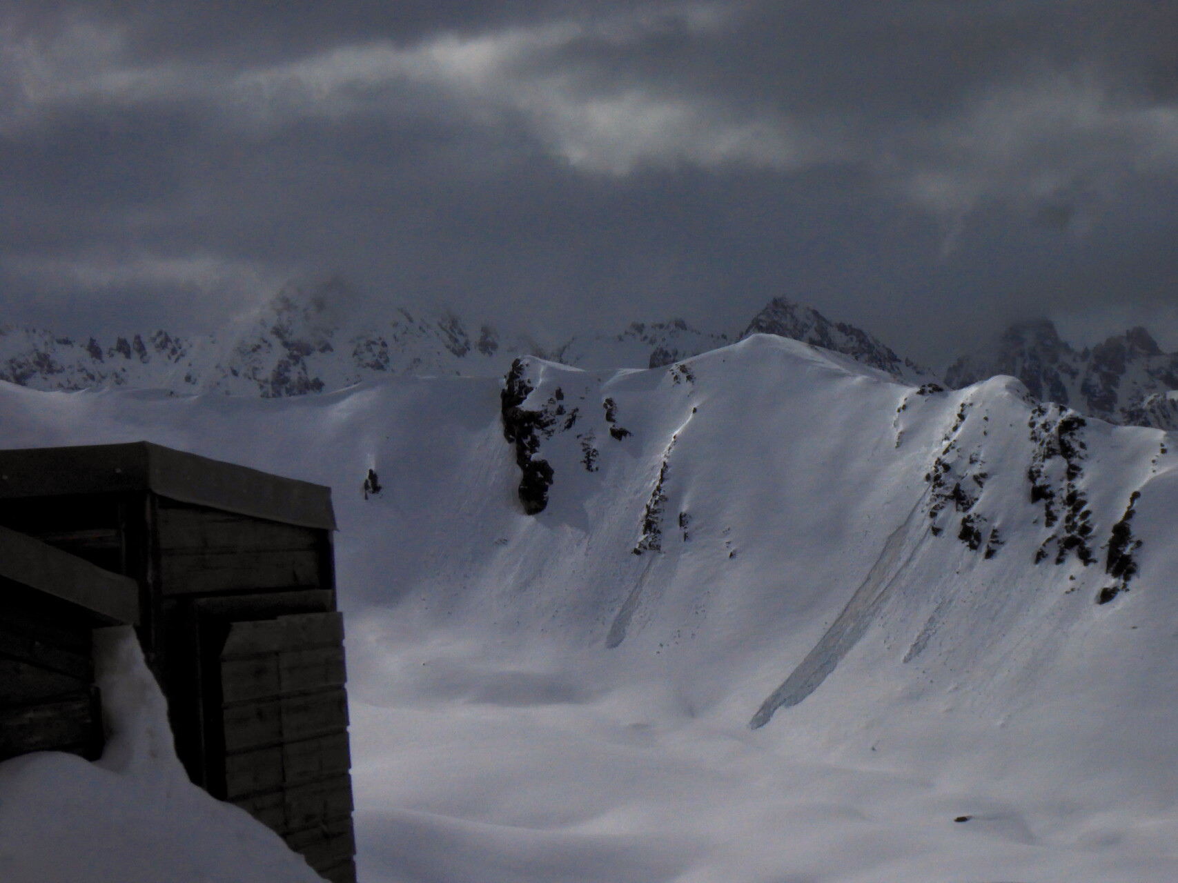
Day 4: yesterday evening it started to rain again, later snowing. But by midnight at the latest it clears up and gets correspondingly cold. Good conditions for our bold plan: to climb Mont Velan from the valley. With the counter climb to the Cabane du Velan, that’s well over 2000 meters in altitude. We start a little above Bourg S. Pierre with skis strapped to our backpacks (the first one to one and a half hours of walking are almost always snow-free) under a starry sky. Shortly after 8 a.m. we reach the Cabane du Velan – time for a second breakfast! Then we continue straight on over the Glacier du Tseudet to the Col de la Gouille. Fortunately, the 4 Spaniards we met yesterday in Bourg S. Bernard are already busy with the “track work”. Shortly before the Col I go back to the “front” and fight my way up to the gap in combined steep terrain: the path, when free of snow and well secured with chains, turns out to be extremely tricky. The belays are largely buried under snow and in the rocky terrain with an average slope of 45°, deep snowdrifts, extremely hard snow covers and floating snow-covered rocks alternate every 2 meters. I continue to work my way from fixed point to fixed point, belaying my guest and finally we reach the col. We now descend on the other side in the steep snow to the Glacier de Valsorey. Finally back in skiable area, we continue with our skins over the glacier towards the summit. The latter is now covered, so the weather is not as stable as it seemed in the morning. Since we don’t want to take any unnecessary risks, I decide to stop the tour at almost 3400 m. Given the fact that we would have a major problem with orientation up here in fog and also have no cell phone reception (professional rescue workers couldn’t come anyway if visibility was poor), this is the only right decision. After a “40/60 descent” (40% crusty, 60% cornsnow) and the obligatory climb back to the hut, it’s a relief to let the cool Panachè trickle down your dry throats.
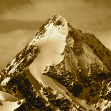
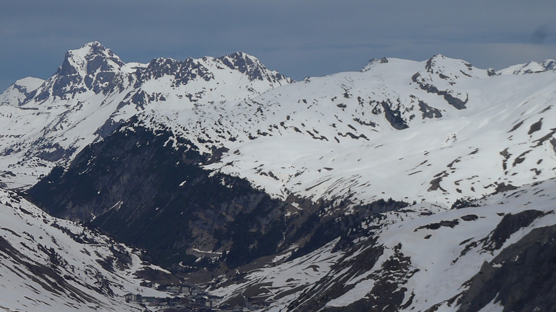
Day 5: the weather is changeable, it was partly clear overnight, but also snowed a little. We use the few sunny windows for the steep climb to Petit Velan and the direct descent to Bourg S. Bernard – a successful conclusion, this time with a 30/70 descent ;-)).
This might interest you:
Free Riding and Skitouring at Arlberg
Region: Arlberg, Austria
Prices: Daily rate from Euro 550.- up (1 participant) + Euro 50.- for every further participant
Haute Route “easy”, Chamonix – Zermatt
Region: Valais, Switzerland
Prices: 4 persons Euro 1350.-, 5 persons Euro 1090.-, 6 persons Euro 930.-
Classic Haute Route ski tour Chamonix – Zermatt
Region: Valais, Switzerland
Prices: 5 persons Euro 1250.-, 4 persons Euro 1450.-